


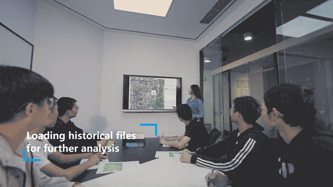
Sniffer4D Mapper-The Data Visualization and Analytical Software
Sniffer4D Mapper visualizes and analyzes data from Sniffer4D in real time,
provides intuitive information (e.g. 2D/3D pollution distribution, PDF mission reports) for decision makers.


Sniffer4D mapper

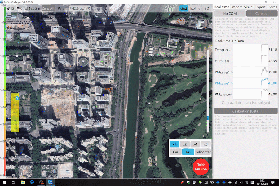
· Analyze data from Sniffer4D in real-time.
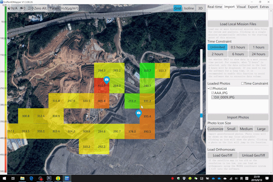
· Generate point cloud air pollution heat map.
· Support target setting & navigation.
· Display real-time UAS camera view.
· Support screen recording during missions.
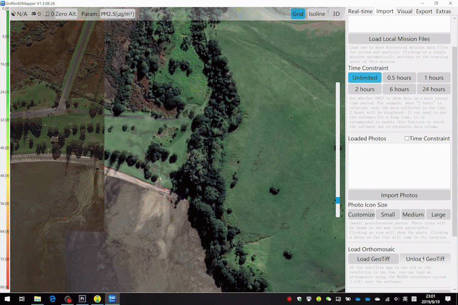
· Load historical data for analysis and review.
· Load orthophoto (GeoTiff, WGS84) into the software.
· Load geo-tagged photos.
· Mission report (PDF) generation at one-click.
· Export mission files as a datasheet (CSV).
· Connections with multiple Sniffer4Ds.
· Three built-in demo missions
(drone mounted, car mounted, and helicopter mounted).
· Output decoded Sniffer4D data (json) using MQTT and UDP.
· Automatic software update.
Analyze Data from Sniffer4D in Real-Time


Sniffer4D Mapper Detailed Specifications

